 en
en italiano
 čeština
 Deutsch
 français
 hrvatski
 magyar
 polski
 српски
 русский
 中文
中文 中文
中文 한국어
한국어 español
progeCAD Professional 2026 General-purpose 2D/3D DWG/DXF CAD
The proved alternative to AutoCAD® for Windows
More Info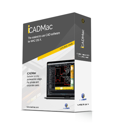
iCADMac 2025 General-purpose 2D/3D DWG CAD for Mac
The proven CAD alternative for Mac. Supports up to Sequoia and Intel/ARM M processors. AutoCAD® Compatible
More Info